
A Roadmap for Conservation
May 13, 2025
Conserving the Piedmont’s Habitats
May 13, 2025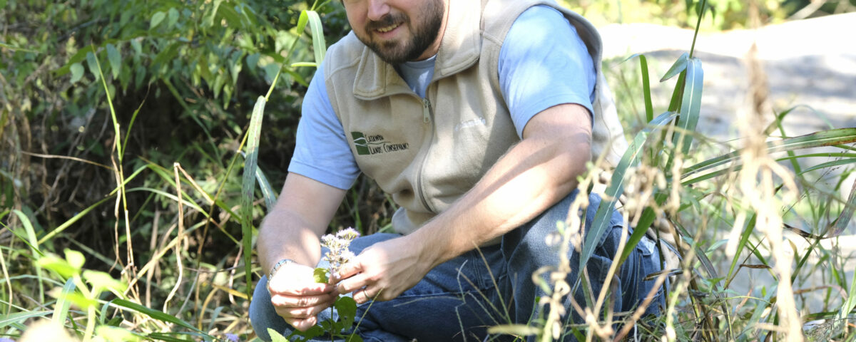
Sean Bloom, Catawba Lands Conservancy’s Land Stewardship Director, penned this deep dive into the rationale and science behind the Strategic Conservation Plan. Sean has been with CLC since 2011, handling mapping and geographic analysis for CLC and the Carolina Thread Trail while leading natural resource management, baseline reporting, monitoring, and land stewardship. After graduating from Catawba College with an environmental science degree and a minor in biology, he held a Park Ranger position at Boone’s Cave Park in Lexington, NC. Sean enjoys hiking, camping, and kayaking with his wife and son in his free time.
Catawba Lands Conservancy (CLC) never wants to engage in random acts of conservation. As an organization, we strive to be strategic and scientific in our approach to our work. To that end, in 2024, CLC undertook a strategic conservation planning effort for our seven-county footprint. Our strategic conservation plan considered variables for each of our focus areas: habitat, water, quality, agricultural communities, and outdoor recreation opportunities.
The plan was informed by data from the US Fish and Wildlife Service, the Natural Resources Conservation Service, Federal Emergency Management Agency, United States Geological Survey, the Environmental Protection Agency, North Carolina Natural Heritage Program, the North Carolina Department of Environmental Quality, our local county and municipal partners, and the Carolina Thread Trail. This data identified:
- high-quality hardwood forests with unique plants, animals, and natural communities;
- highly productive farmland;
- important riparian areas for flood protection and water filtration;
- and key trail corridors.
We took a landscape approach to our plan by breaking up the seven county footprint into a grid of 30 by 30 meter squares. For reference, approximately six squares cover a football field. We then assigned a value for each variable to every square and totaled those values for an overall score for each focus area. Areas with concentrations of high scores were recognized as conservation resource zones (CRZs). We then overlaid these CRZs to find areas where they overlapped. This way, we can focus our landowner outreach and other conservation efforts in areas that have multiple benefits.
We took this approach because nature does not recognize property boundaries and oftentimes important conservation corridors will cross multiple property owners. Now we can contact multiple land owners and assemble properties into a larger conservation project.
However, just because a property is not located in a CRZ does not mean it’s not important for conservation. There are still plenty of important properties that are needed to protect our region’s habitat, water quality and farmland.
Please take time to review our new conservation strategic plan. If you own land that is identified or know someone who does, please reach out so we can work together to save these important places.
To support our vision for a strategic future, donate today.